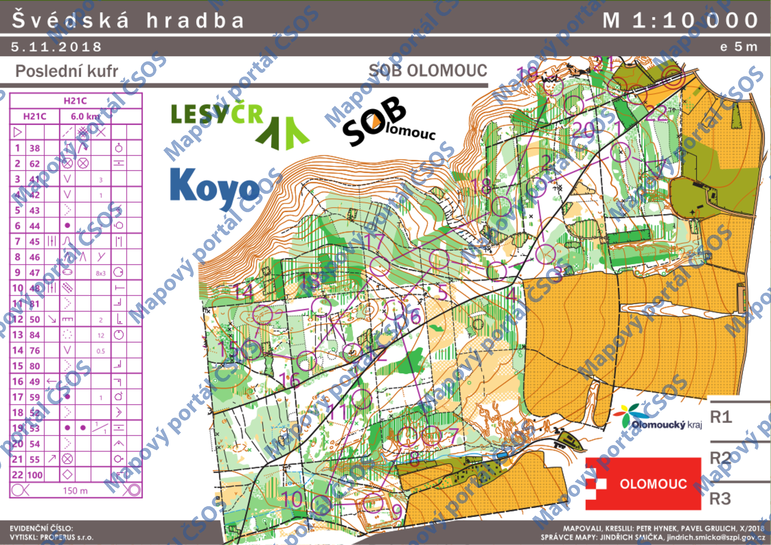
Map Švédská hradba
Mapa byla schválena.
Basic map data
| Scale | 1:10000 | Equidistance | 5.0m | Sport | Foot-O | Specification | ISOM (foot-O) |
|---|---|---|---|---|---|---|---|
| Year | 2018 | Published by | SOB Olomouc ,Partyzánská 22 ,783 71 Olomouc-Holice | Filing number | 18M029O | ||
| Blocking until | 2027 | Blocking reason | |||||
| Map admin | Jindřich Smička ,Partyzánská 22 ,783 71 Olomouc-Holice | Publisher | UOL - SOB Olomouc | Educational map | ne | ||
| Locality | Náměšť na Hané | Kraj | Olomoucký kraj | Area size | 7.166 km2 | ||
| Based on | Švédská hradba | Stav | X/2018 | Drawing technique | OCAD 9 | ||
| Printed in | Properus s.r.o. | Print technique | laser | ||||
| Main race (title) | Oblastní žebříček | Main race (date) | 2018-11-10 | ||||
| Entry created by | Ctirad Zbořil | ID/status | 10018 / approved and closed | ||||
Autoři
| Name | Role |
|---|---|
| Hynek Petr | prepared |
| Grulich Pavel | prepared |
Obrys mapy
Map preview
Using the map without publisher's permission for organized events is copyright piracy. Please contact the map administrator listed in the Map Archive database and obtain maps in full quality for printing.