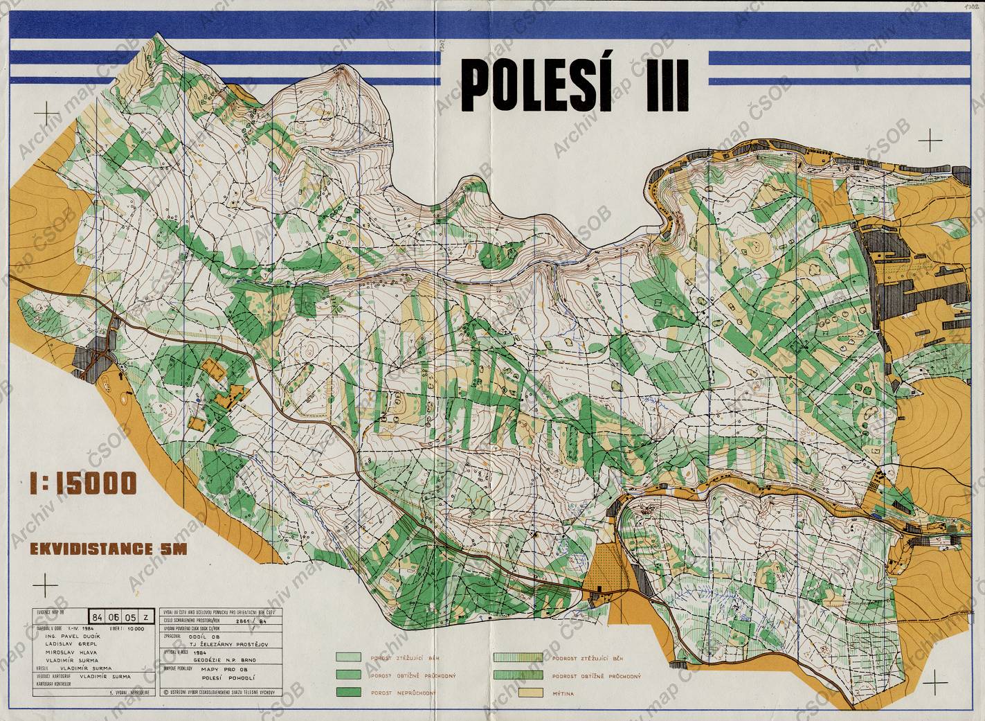
Map Polesí III
Basic map data
| Scale |
1:15000 |
Equidistance |
5.0m |
Sport |
Foot-O
|
Specification |
ISOM (foot-O)
|
| Year |
1984
|
Published by |
Železárny Prostějov |
Filing number |
840605Z |
| Blocking until |
1993 |
Blocking reason |
|
| Map admin |
-
|
Publisher |
ZPV - KOB ZPV Prostějov
|
Educational map |
ne |
| Locality |
Ptení (Prostějov 12zsz) |
|
Area size |
20.68 km2
|
| Based on |
OB |
Stav |
|
Drawing technique |
ink, pen
|
| Printed in |
G.Brno |
Print technique |
5 colors
|
| Entry created by |
archiv ČSOS |
Archive |
aaa3 |
ID/status |
1302 / archived |
Autoři
Obrys mapy
Náhled
Using the map without publisher's permission for organized events is copyright piracy. Please contact the map administrator listed in the Map Archive database and obtain maps in full quality for printing.