Map Dürnau
Map basic data
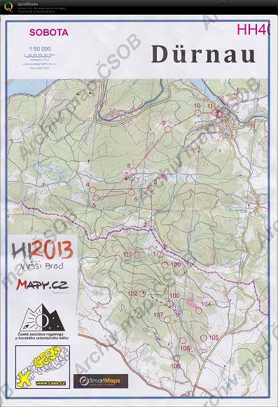
| Scale | 1:50000 | Equidistance | 10.0m | Sport | Extreme | Specification | Topographic map |
|---|---|---|---|---|---|---|---|
| Year | 2013 | Published by | Česká asociace rogainingu | Filing number | - | ||
| Blocking until | 0 | Blocking reason | |||||
| Map admin | - | Publisher | VSP - USK Praha | Educational map | ne | ||
| Locality | Vyšší Brod | Kraj | Jihočeský kraj | Area size | 97.085 km2 | ||
| Based on | Mapy.cz | Stav | 2013 podzim | Drawing technique | OCAD | ||
| Printed in | - | Print technique | laser | ||||
| Note (public) | Jen JPG. Přes hr. Rakousko | ||||||
| Main race (title) | HROB (sobota) | Main race (date) | 01. 01. 2013 | ||||
| Entry created by | archiv ČSOS | Archive | c--0 | ID/status | 7148 / archived | ||
Autoři
| Name | Role |
|---|---|
| nezjištěn | prepared |
Obrys mapy
Map preview
Using the map without publisher's permission for organized events is copyright piracy. Please contact the map administrator listed in the Map Archive database and obtain maps in full quality for printing.
Našli jste problém v záznamu (nesprávné nebo chybějící údaje, špatný obrys)? Budeme rádi, pokud nám o tom řeknete.